Six Inches of Snow Expected in Lubbock on Sunday

Rain started falling in Lubbock just after 7pm Saturday evening. The rain will turn into freezing drizzle as it gets later into the night, and then the rain will turn into snow after midnight, Sunday morning.
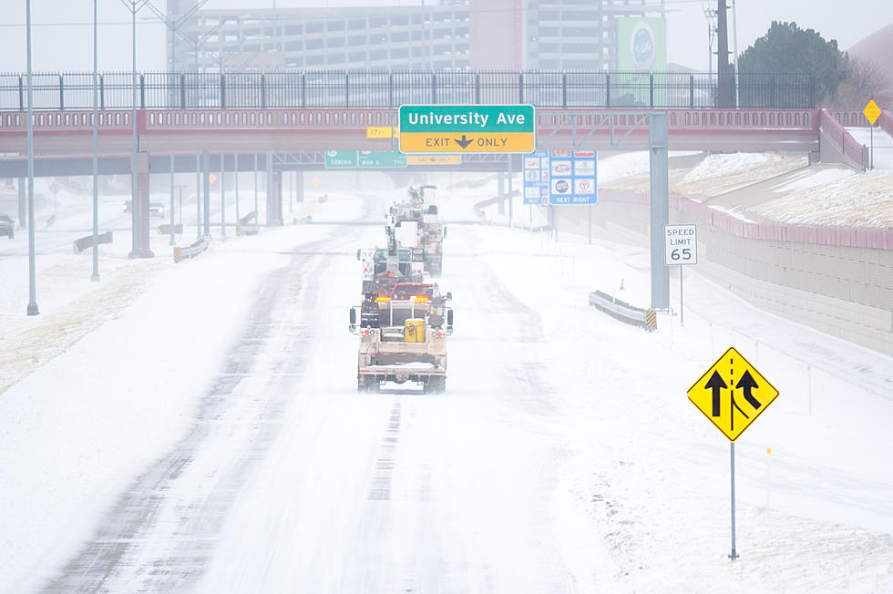
Officially a Winter Storm Warning is in effect for Lubbock and most of the South Plains though 6pm Sunday.
The latest revised forecast from late Saturday afternoon predicts 6" of snow in Lubbock from Midnight Sunday to 6pm Sunday.
North of Lubbock will see smaller amounts of snow, with 3" of snow predicted in Muleshoe, 4" of snow in Littlefield, 3" in Plainview, 4" in Floydada, and 4" in Matador.
Then, west of Lubbock in Levelland, 5" of snow is predicted; 6" of snow predicted in Crosbyton, 5" in Dickens and 4" in Guthrie.
South of Lubbock, 6" inches of snow is also being predicted in Brownfield, Tahoka and Post. Moving further south, into the Permian Basin, 4" to 8" of snow is being forecast for an area including Lea County, New Mexico; moving west and south into Andrews, Odessa, Midland, and Big Spring.
Motorists traveling on Sunday, can use TxDOT's DriveTexas.org website to find out information about the condition of Interstates, US and Texas state highways and rural roads. Travel on I-20 from Odessa to Abilene is expected to be affected on Sunday due to the winter weather.
Going back to South Plains snowfall totals, Ron Roberts' previous set of snowfall predictions mainly falls in line with the latest forecast from Saturday afternoon.
Ron also went on to social media Saturday night with an updated forecast:
More From KFMX FM